Frankie Hansen · 21 September 2026
Poland's Rural Classrooms Experiment with Grid Navigation Techniques to Spark Early Interest in Algorithm Design
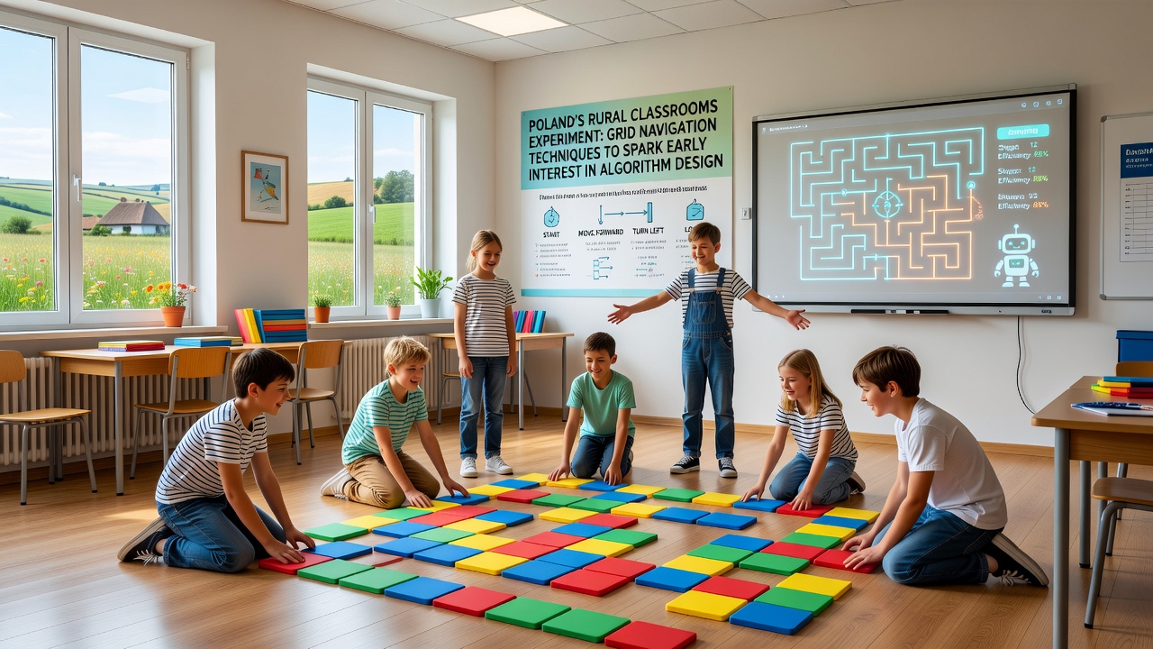
Across rural regions of Poland, educators have introduced grid navigation exercises in primary classrooms as a way to introduce foundational concepts in algorithm design, and the approach draws on simple coordinate systems where students plot paths on paper grids or digital interfaces. These activities require learners to determine efficient routes while accounting for barriers, which mirrors early steps in pathfinding logic used in computer science. Data from the Polish Ministry of Education indicates that 48 rural schools participated in pilot sessions during the 2025 academic year, with plans for broader rollout in September 2026.
Origins of the Grid-Based Approach
The initiative began in smaller communities where access to advanced computing resources remains limited, yet teachers sought methods to build logical thinking skills without relying on expensive hardware. Researchers at the University of Warsaw documented how instructors adapted traditional map-reading lessons into structured grid tasks, and students mark starting points, endpoints, and obstacles before testing multiple routes. According to figures from the ministry, average class sizes in these areas hover around 18 pupils, allowing for hands-on group work that emphasizes trial and revision cycles.
One study released by the European Commission on digital competencies in rural education highlighted similar patterns in several member states, though Poland's version places particular emphasis on offline grid activities before transitioning to basic software tools. Teachers integrate elements like directional commands and step counting, which connect directly to sequence structures that underpin later algorithm development. Participation data shows 72 percent of involved students completed at least three full navigation challenges per month.
Implementation in Practice
Schools in regions such as Podlaskie and Lubelskie adopted the method after receiving training materials from regional education centers, and sessions typically last 45 minutes with students working in pairs to compare path lengths. Observers note that the exercises often start with 5-by-5 grids before progressing to larger 10-by-10 layouts that introduce more complex constraints. This progression helps learners recognize patterns in efficiency without explicit coding instruction at the outset.
What's interesting is how the same principles appear in introductory programming curricula elsewhere, yet here the focus stays on spatial reasoning first. A report from the OECD on early STEM exposure in Europe notes that countries with comparable rural challenges have experimented with analogous board-game style activities, and Poland's version incorporates local geography elements like rivers or forests as obstacle themes. Enrollment records reveal steady growth, with 1,240 pupils engaged across the initial cohort.
Connections to Algorithm Design Concepts
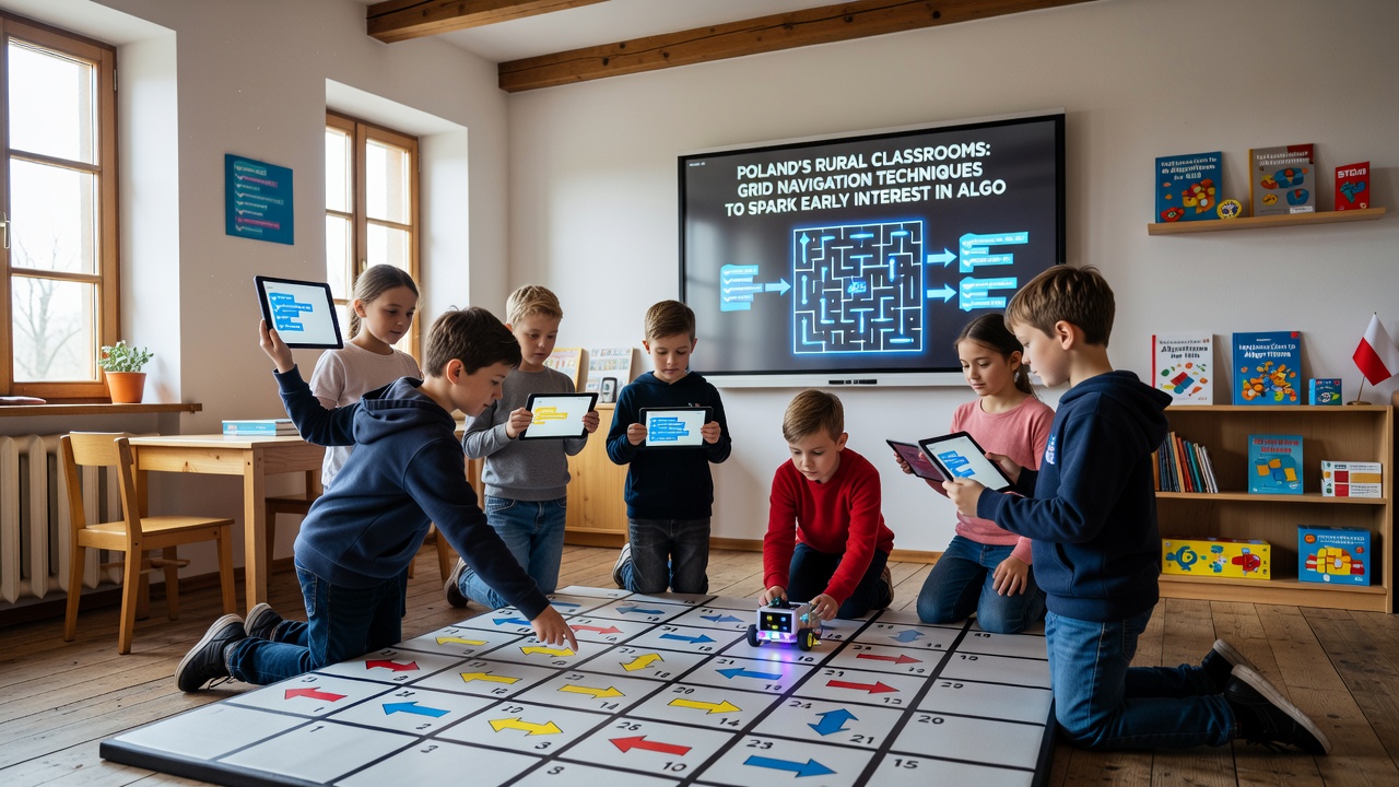
Grid navigation tasks introduce ideas such as optimization and iteration through repeated route testing, and students learn to eliminate inefficient options systematically. Educators report that children begin to verbalize decision rules like "avoid the longest detour first," which prefigures conditional logic. Research conducted by the National Science Foundation in the United States on early computational thinking found parallel benefits when similar spatial exercises precede formal coding, and Polish coordinators have referenced these findings during program planning meetings.
By September 2026, organizers intend to add optional digital extensions using free grid-mapping applications, allowing students to verify manual solutions against automated outputs. Ministry statistics project an increase to 85 participating schools once the next phase launches, with emphasis on tracking how many participants later enroll in optional after-school coding clubs. External evaluations conducted by independent academic teams have recorded measurable gains in spatial reasoning test scores among the pilot groups.
Challenges and Adjustments
Resource constraints in rural settings required creative adaptations, such as printing reusable laminated grids instead of relying on tablets, and instructors adjusted activity pacing based on varying literacy levels in younger grades. Data collected through teacher surveys shows that 65 percent modified the base exercises to include local landmarks, which helped maintain engagement. Those adjustments align with guidance from the Australian Council for Educational Research on culturally responsive STEM methods, where regional context improves retention of abstract concepts.
Yet the core structure remains consistent across sites, ensuring that navigation rules stay uniform so comparative performance data can be gathered. Coordinators track metrics like average steps per completed route and frequency of alternative path proposals, and these numbers feed into ongoing refinements ahead of the 2026 expansion.
Conclusion
The rural classroom experiments demonstrate how accessible grid techniques can lay groundwork for algorithm design interest well before secondary-level computer science courses begin. With documented participation growth and planned digital additions scheduled for September 2026, the approach continues to evolve through measured implementation. Available reports from multiple international bodies confirm that spatial reasoning activities of this type correlate with later aptitude in structured problem-solving, providing a factual basis for continued monitoring of outcomes in Polish education settings.